
Mountain biking

There are numerous trails for all skill levels of mountain biking throughout the Monongahela National Forest.
Many of the trails (hiking and cycling) are maintained by an incredible volunteer group headed by Steve Jones and Brenda Korte.
To volunteer, contact their page :
Monongahela Outdoor Volunteers
Below is a list of trails near Richwood compiled by Monongahela Outdoor Volunteers and the MTB Project:
Big Run Trail - Rated as Difficult
Charles Creek Trail #260 - Rated as Intermediate
Cow Pasture Trail #253 - Rated as Easy/Intermediate
Cranberry Ridge Road #99 - Rated as Easy
Eagle Camp Trail #259 - Rated as Intermediate
Fork Mountain Trail - East Section - Rated as Intermediate
Fork Mountain Trail - Ridge Section - Rated as Intermediate/Difficult
FSR #946 - Rated as Intermediate
Gateway Trail - Rated as Easy
Kennison Mountain Trail - Rated as Difficult
North Bend Trail #225 - Rated as Intermediate
Pocohontas Trail #263 - Rated as Intermediate
Summit Lake Trail #201 - Rated as Intermediate
Thomas Reserve Trail #275 - Rated as Easy
Advice from Steve and Brenda:
Take some time to study the roads and trail maps. If you use an app, such as MTBProject you don’t need cell phone coverage (after you have downloaded the WV map), it runs via satellite signal. Much more accurate than a paper map and the app shows you where you are.
Pack for a full day; water, snacks, extra layers, extra bike parts, and first aid supplies.
Don’t bike alone if you are unfamiliar with the area. Even in a group, let someone back home know your agenda and contact them when you are finished with the ride.
Be on the lookout for wildlife. This is a true wilderness experience.
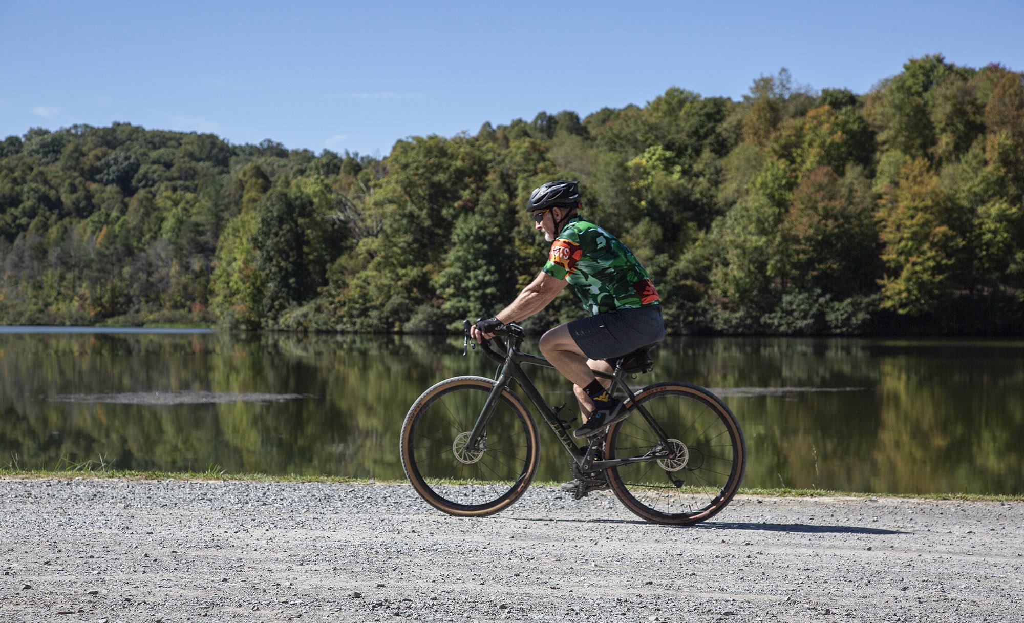
gravel biking
There are countless gravel & dirt roads and trails near and within the Monongahela National Forest. Many of these routes were created either by the forest service or as former logging roads.
Below is a list of some area trails and their GPS routes via STRAVA generously shared by avid cyclist Sam Barger.
Lower Williams River Valley/Cranberry Backcountry Loop
Bishop knob - Cranberry Ridge Trail - Cranberry River Loop
B&O yard - Rock House Road - Dennison Run - Big Ditch Lake
Cowen to Richwood and back by Bishop Knob
Back Fork of Coon Creek - Tioga Loop and back
Upper Williams River and Purple Rhododendron Road
Mills Mt. to Bishop Knob Campground and out Rockhouse Road
